 I think this is Mt. Theilsen...
My tan lines.


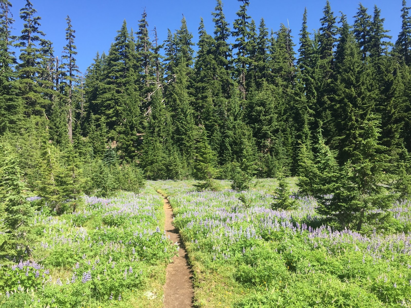
Three Sisters Wilderness


Lava, feat. Backtrack, Mt. Jefferson

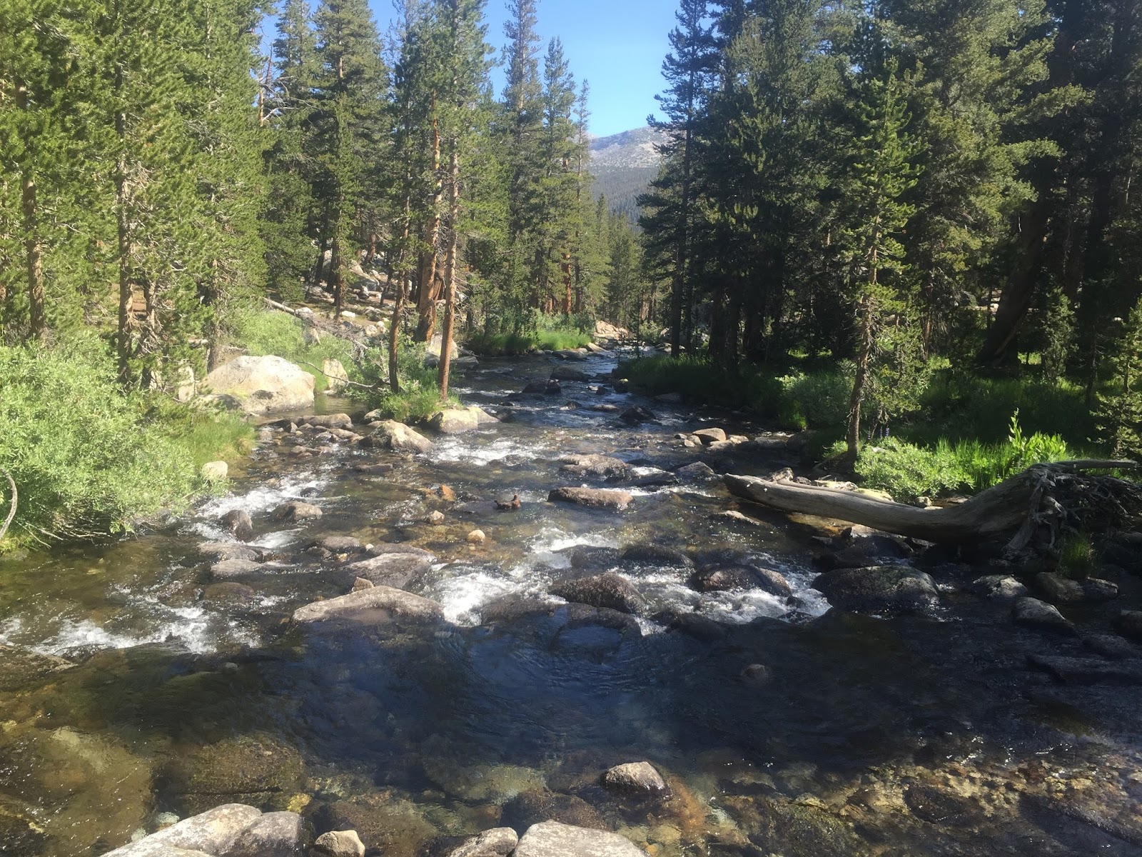
Back up to California here. Can tell by the bazillion year old trees.


Chicken Spring Lake. There was a terrible lightning storm the night we camped here. I slept for about 30 minutes, feeling nauseous the whole night. It was pouring on and off and there was thunder right on top of us, with wind so strong that my shelter blew over a few times. Getting out of your sleeping bag in the middle of the night to fix your shelter as you almost puke on yourself / get blown over by the wind isn't fun. I'm actually pretty sure this was the worst night of my life.


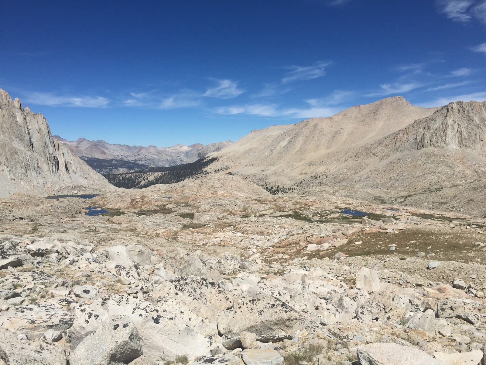
On the approach to Mt. Whitney, two days after the worst night ever. Not sure if I was fully recovered yet, but we slept in this morning and I got about 16 hours of sleep, so a Whitney summit wasn't out of the question.
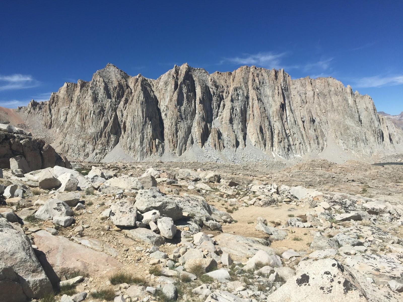
Getting closer and closer to the top!


Above the clouds.


The emergency shelter at the top of Mt. Whitney, the tallest mountain in the
contiguous US. 14,508 ft.

And me up there too.


Devil's Postpile Monument: the rocks are naturally hexagonal prisms!


Backtrack and Brother Nature (Tucker), feat. my tent


I forget the name of this pass, but it came after Island Pass and was quite nice. This was one of the first days we'd had in a while where it wasn't dark and cloudy by noon.


Giant meadows on the approach to Tuolumne Meadows, just inside the border
of Yosemite National Park.


On my side trip to Yosemite Valley. Backtrack pictured.

Yosemite Valley, aka nature's Disneyland.


I forget the name of this lake but I definitely slept here.


Backtrack, on the approach to Sonora Pass.


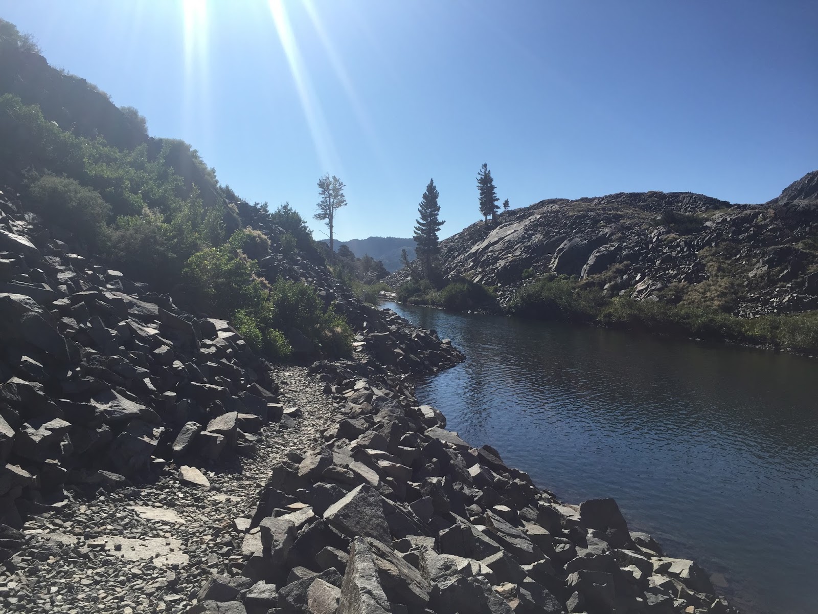
Aloha Lake.


A Park Service shelter we found. Weirdly wasn't mentioned in some of the trail info apps and wasn't super easy to find.


After closing the 400 mile gap that we skipped earlier in the summer, Backtrack and I finally finished California!! (and 280 miles of Oregon) Suddenly I'm realizing that I don't have that many miles left... less than 200!

I took a couple days rest in Davis, CA, where I visited my friend Lachlan, got to meet all of his wonderful physics researching friends, drank good beer, and learned to ride a bike.

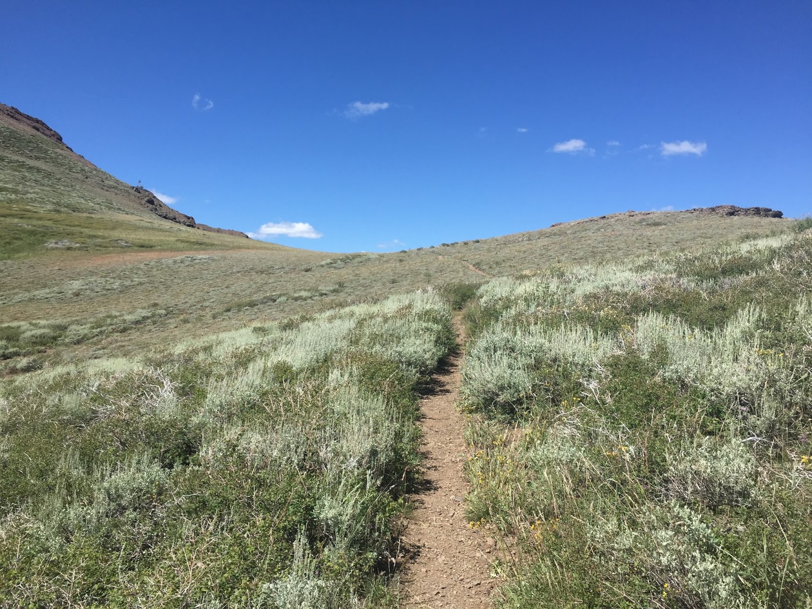
Lachlan and his friend May drove me back up to McKenzie Pass, OR, where I left off. The first miles north of the road were quite rocky.


My tent and my friend Loran's tent set up at Big Lake, PCT mile 2007.


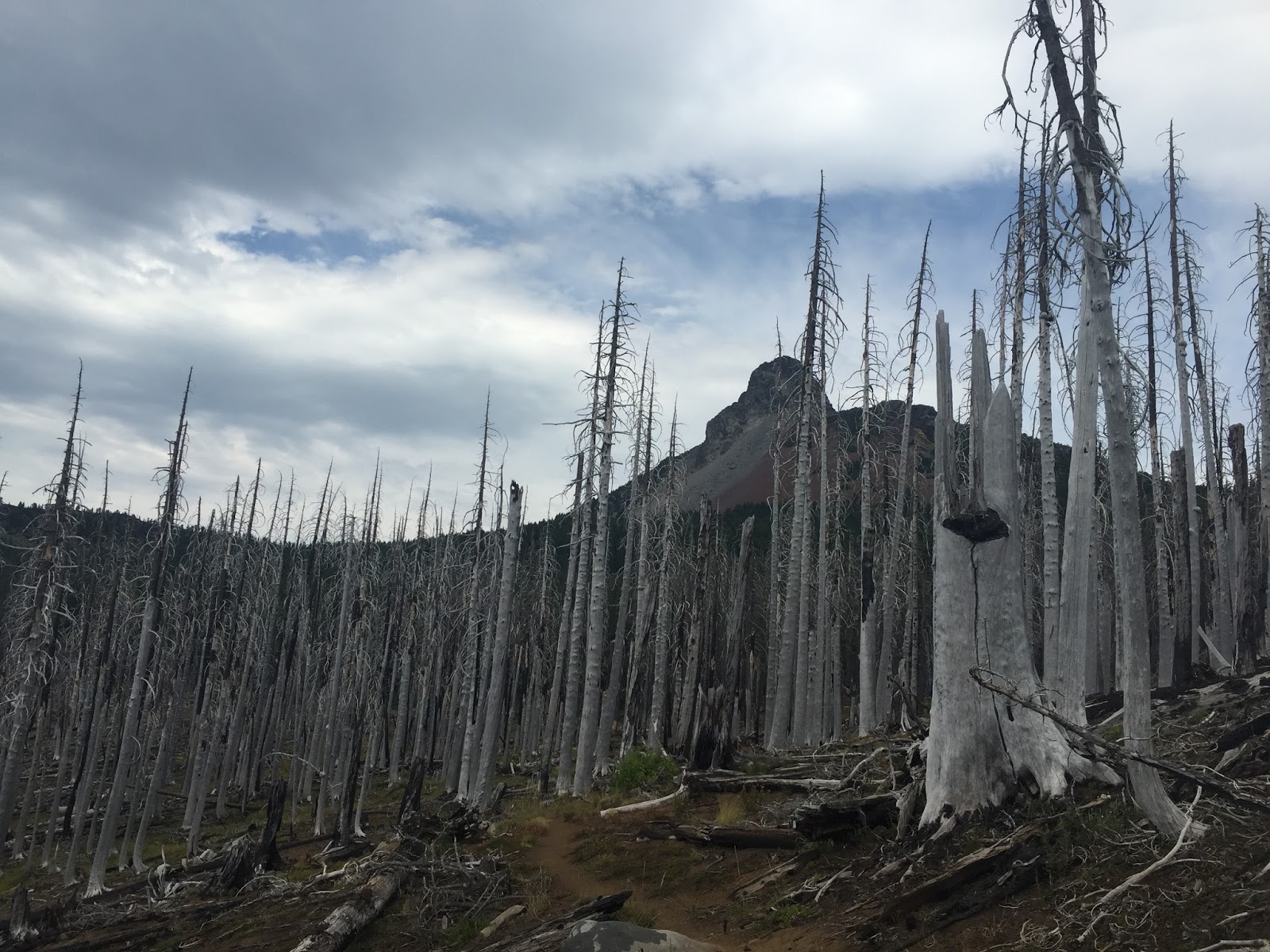
Endless dead and burnt trees...


Mt. Jefferson


Can you spot the deer?

Mt. Hood!

Timberline Lodge, home of the best meal on the PCT, their breakfast buffet. Also the subject for the exterior shots of the Overlook Hotel in Stanley Kubrick's The Shining.


The sun was setting for my final night on the trail. The next day I walk my final 15 miles into Cascade Locks, OR.


Tunnel Falls

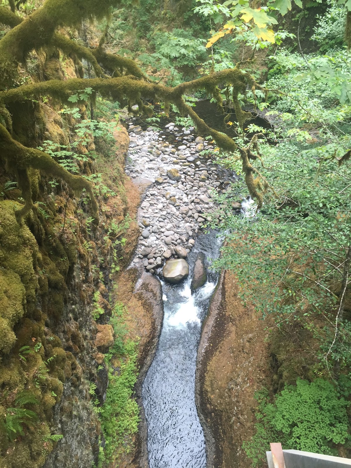
More Eagle Creek


I took this photo standing in Washington!